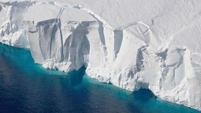
Geoscientists have found a vast fan-shaped geological feature hidden below the East Antarctic Ice Sheet, which could have a bearing on some of the regions of the continent that are vulnerable to climate change.
The fan-shaped structure is a web of basins lying concealed under ice, which is more than three kilometres thick in certain places. It includes subglacial features like that of the Wilkes and Aurora basins, as well as the basin containing Lake Vostok, which is the largest known subglacial lake on the Earth.
Dr. Egidio Armadillo of the University of Genoa headed the research. The Italian National Antarctic Research Program supported it. Dr Guy Paxman from the Department of Geography contributed to the international study.
The researchers have named the structure the East Antarctic Fan-shaped Basin Province.
The Antarctic Ice Sheet, which covers nearly all of Antarctica, has three main parts — East Antarctica, West Antarctica, and the Antarctic Peninsula. The East Antarctic Ice Sheet (EAIS) is the largest continental ice mass on Earth, housing the geographic south pole.
The structure probably developed through distributed rotational extension, which is a process where the crust of the continent stretches outward from a single point gradually. It might represent one of the largest rotational extensions ever to be identified within a continental crust.
Researchers believe it is formed by multiple tectonic segments related to the ancient Gondwana supercontinent and could be connected to the latter separation of Antarctica and Australia.
The shape of the bedrock below the ice continues to affect how ice shifts throughout the Antarctic continent.
This hidden structure helps to understand the location of subglacial lakes and how it may influence the stability of regions of the Ice Sheet which are especially vulnerable to climate change.
Scientists combined subglacial topography, magnetic data, gravity measurements, lithospheric models, and seismic information.
An important contribution came from Durham University’s Dr. Guy Paxman, who led calculations estimating how East Antarctica’s landscape would look if the entire ice sheet were removed, causing the land to move upward by as much as one kilometer.
This “rebounded topography” allowed the team to study both the orientation and elevation of the identified structure.
(This article has been curated by Seekriti Saha, who is an intern with The Indian Express)